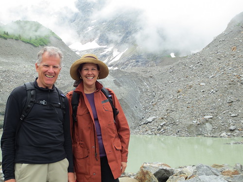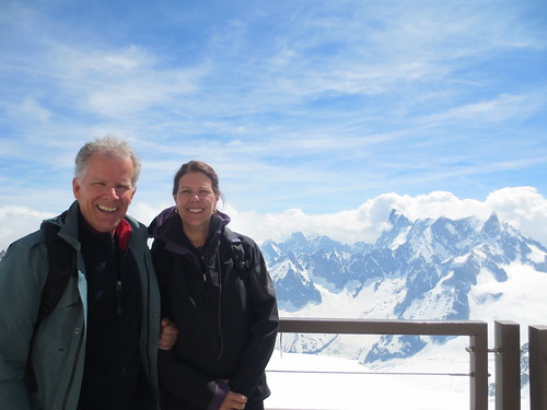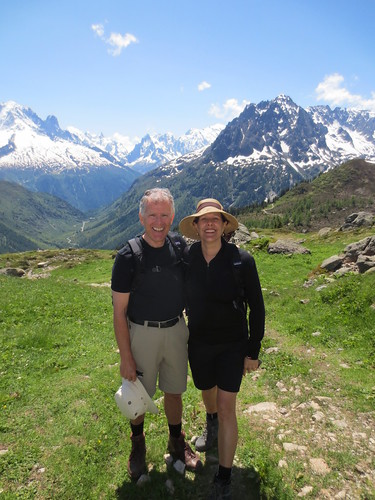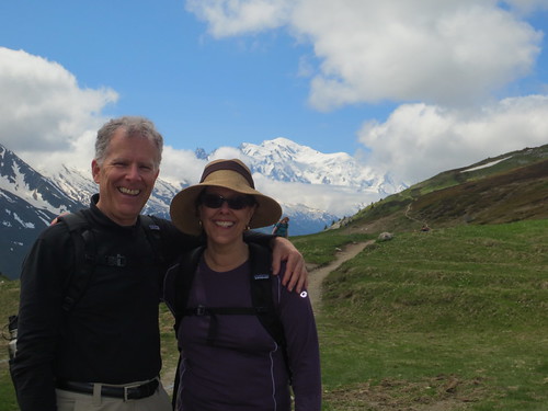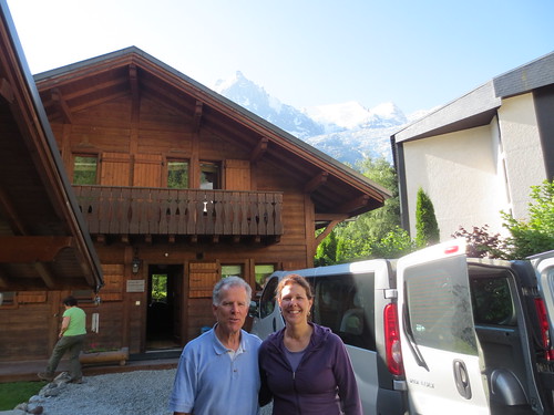
Mont Blanc in the background. Courmayer, Italy
Slideshow
Category: Hiking
Hiking: Mont Blanc, Chamonix Valley, France, Courmayeur, Italy
Alpine cows with their famous bells
Near Les Houches, Chamonix Valley, FRance
Chamonix, Chalet Chocolat, Thursday, Les Houches, Maisonneuve, Bellevue, Mont-Blanc Tramway, Col de Voza, St. Gervais, Les Contamines
Chamonix, Chalet Chocolat, Wednesday, Brévent-Flégère, Vallorcine
Chamonix, Chalet Chocolat, Tuesday, Aiguille du Midi, Téléphérique de l’Aiguille du Midi, Pointe Helbronner, Vallée Blanche
Chamonix, Chalet Chocolat, Monday, Vallorcine, Cascade de Bérard, Chalet de Loriaz
Chamonix, Chalet Chocolat, Sunday, Hotel Buet, Argentiére, Col des Posettes, Col de Balme
Chamonix, Chalet Chocolat, Saturday
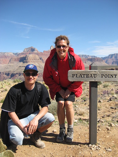
Hiking to Plateau Point on the Bright Angel Trail, South Rim, Grand Canyon
Slideshow
The Bright Angel Trail, South Rim of the Grand Canyon, Arizona, USA
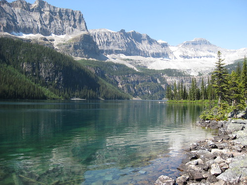
Hiking at Boom Lake, Alberta
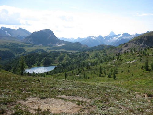
The trail to Citadel Pass is one of the most scenic trips from Sunshine Village
Slideshow
Citadel Pass
Length: 9.3 km (5.8 mi) one way
Elevation gain: 195 m (640 ft)
Walking time: 3 hours one way
The trail to Citadel Pass is one of the most scenic trips from Sunshine Village, but due to its length usually less crowded than the trails described above. Starting from the 1.3-kilometre (0.8-mile) junction on the trail to Rock Isle Lake, it runs southeast along the Continental Divide, rolling up and down through the heart of the Sunshine Meadows. Highlights include wildflower meadows, which are justifiably renowned as some of the finest in Banff National Park, and frequent vistas of the rugged peaks of British Columbia to the south and west. Since the trip is long and the last shuttle bus of the day leaves in the late afternoon, many hikers only go as far as Quartz Ridge (5.2 kilometres/3.2 miles from Sunshine Village; allow 90 minutes one way), the highest point on the trail and a good viewpoint for the southern reaches of the meadows.
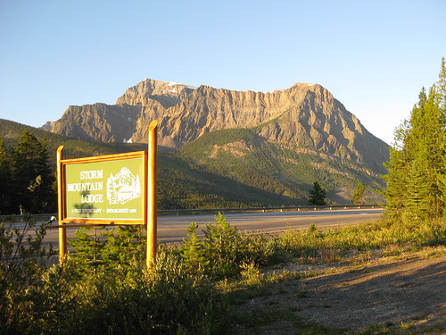
Storm Mountain Lodge, Banff, Alberta
Plain of Six Glaciers Hike, Lake Louise, Alberta
Slideshow
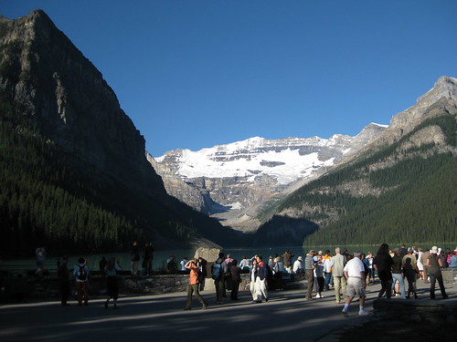
Plain of Six Glaciers
5.3 km one way, elevation gain 365 m, 4 hours round trip (map)
Trailhead: Follow the Lake Louise Shoreline trail to the back of the lake and continue on to Teahouse.
Option: Connect the Lake Agnes and Plain of Six Glaciers trails, via the Highline trail, to form a 14.6 km loop. 5 hours round trip.

